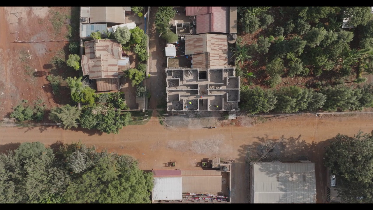
Putting the super high resolution drone cameras to task and utilising their precise GPS abilities, our drones can accurately survey terrain down to millimetre accuracy. This data can be used by surveyors for groundworks cut and fill, or pile volumetric measurements.
Aerial Land Mapping

Land Survey
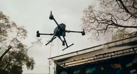
Putting the super high resolution drone cameras to task and utilising their precise GPS abilities, our drones can accurately survey terrain down to millimetre accuracy. This data can be used by surveyors for groundworks cut and fill, or pile volumetric measurements. close up aerial view of a surveying drone in flight. Accurate Results From Far Away.
Working closely with your surveyors, we can survey vast areas of terrain with fast and incredibly accurate results down to 10mm. Unlike traditional surveying, we can deliver hundreds of thousands of milimetre-accurate measurement points across a site within 72 hours. Our aerial surveys reduce human risk on busy construction sites and ensure that there is minimal interruption to groundworks.
Thousands of Accurate Points to Measure Your Project
Accurate Results From Far Away
Working closely with your surveyors, we can survey vast areas of terrain with fast and incredibly accurate results down to 10mm. Unlike traditional surveying, we can deliver hundreds of thousands of milimetre-accurate measurement points across a site within 72 hours. Our aerial surveys reduce human risk on busy construction sites and ensure that there is minimal interruption to groundworks.


