About Us


Customized Aviation Solutions believe in using modern Aerial survey Drone technology to ensure rapid, safer, accurate and affordable delivery of Geospatial Data. Our proven Geodetic, RTK, and Drone solutions simplify the collection and provide survey-grade accuracy data, allowing professionals in Architectural, Agriculture, Civil Engineering, and Physical planning to make smart decisions, faster.

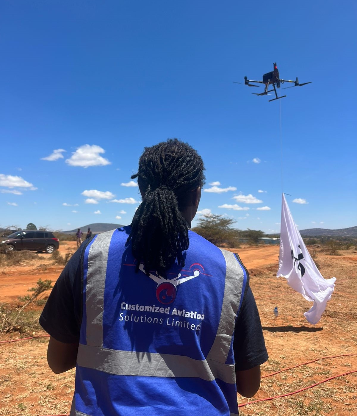
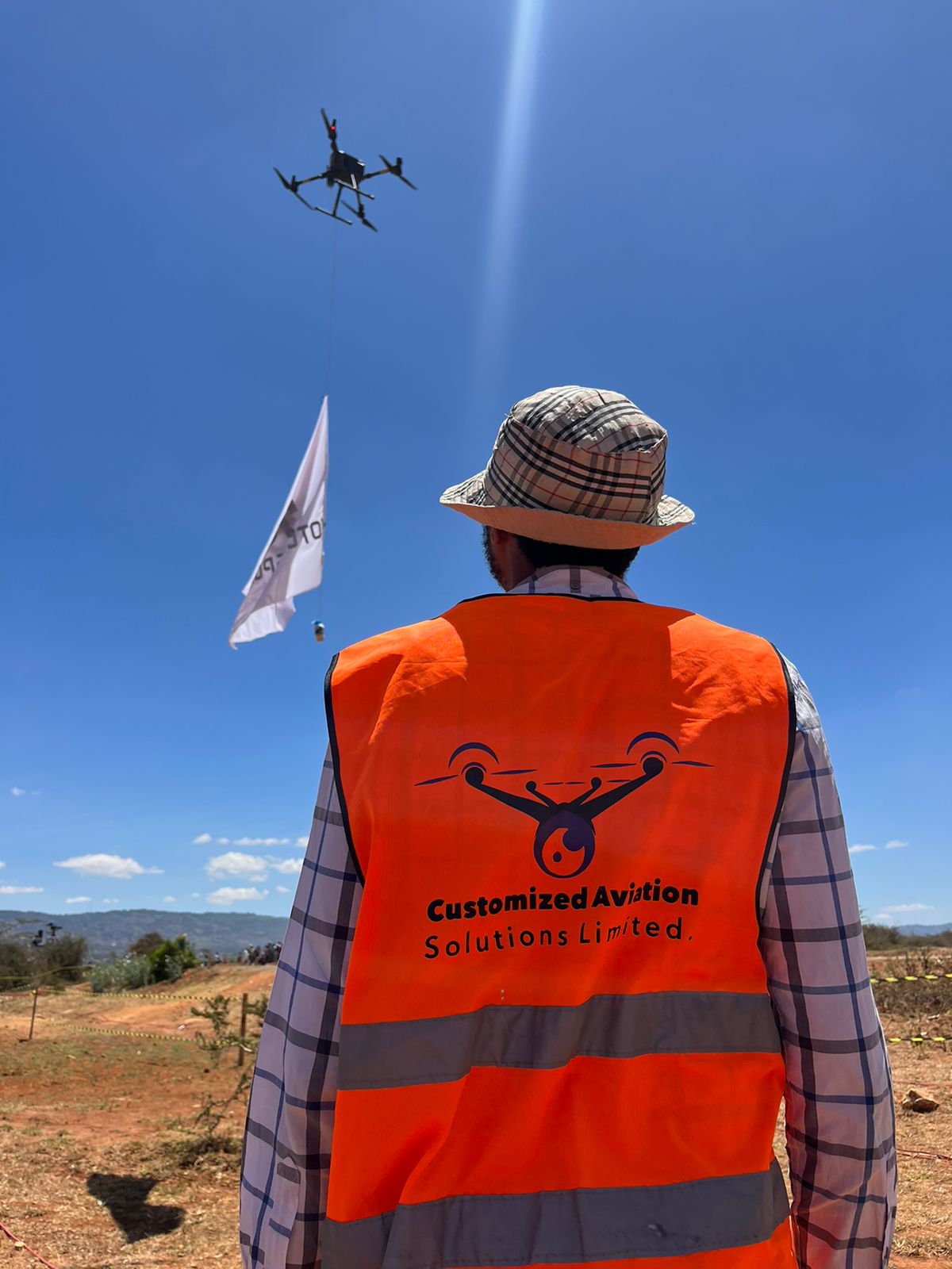
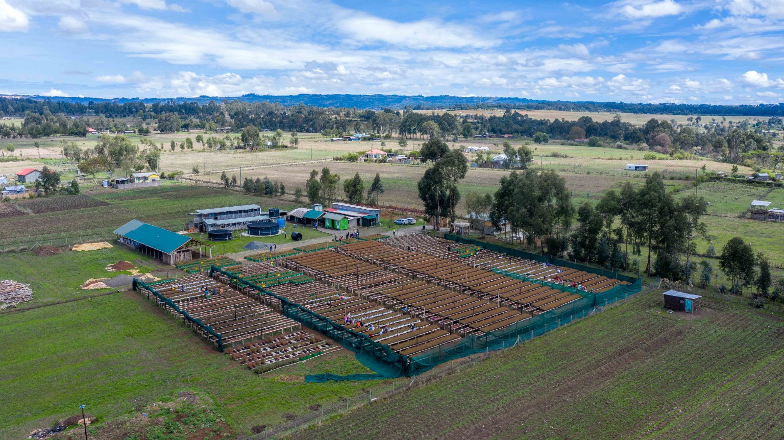
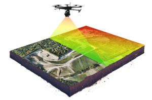
We have provided high quality Drone/UAV aerial surveys for many businesses across Kenya and East Africa at large. We can help you access all of those hard to reach locations that would otherwise take far more time and money to see using conventional methods. We’ll take photos and LiDAR using our drone aerial survey technology and give you a fast, cheap and safe survey, with as much information and detail that you and your clients require.

We strives to provide clear-cut Aerial Drone Surveying/Mapping services across Africa. From having served the Government and Private sector in Land Surveying, Aerial Surveying for Land Management & Development, Land Slope monitoring, Stockpile volumetric measurements, Designing smart cities, Mapping greenfield projects, etc. our experience remains unsurpassed. Customized Aviation prioritizes quality and, thus, perpetually continues to achieve highly accurate topographic maps with Centimeter level Accuracy at any given time. Decked with High-end surveying Drones and a crew of skilled licensed Pilots, our clients obtain the deliverables faster, hence promoting more agile decision-making.
icons

Drone Photography & Video

Let us capture breathtaking aerial imagery to showcase the best your property has to offer, or have us collect, inspect, and analyze critical data for your enterprise.

icons

Easy Scheduling

Save time scheduling. Let us manage your drone projects while your team focuses on what it does best. Simply tell us about your project and we’ll take care of the rest.

icons

Experienced Professionals

We understand how aerial imagery elevates your business and will help you determine the best drone service options for your company.

icons

Completely Custom

We tailor our services for your needs, whatever you need. Let us know what you’re looking for and how we can help out.

icons

Fast Turnaround

Easy scheduling and fast turnaround makes completing projects a snap. We share your edited images as soon as they are ready.

icons

Nationwide Service

Get the same great experience and high quality wherever you need your aerial imagery & with zero travel expenses. Our drone pilot network is there when you need it, where you need it.

Hassle-Free Drone Services


Get premium quality aerial photos, video, maps & data captured by one of our vetted and experienced professional drone pilots & Services. The certified pilots in our nationwide network have the skills & training required to get the job done right the first time and on time.

Tell us what you want to accomplish. We want to know. We believe that success follows taking the time necessary to understand your business objectives prior to launching any project. We understand that not all projects and properties are alike and that a cookie-cutter template won’t always work for you.

Enterprise Scalability. Consistent Quality. Fast Turnaround.


We offer nationwide drone photography services and provide professional consistency and reliability for your brand. Our scale is large enough to enable fast turnaround times and eliminate any and all travel fees or expenses that could otherwise be borne by clients.

The expert drone operators within our network are vetted and proven, and are ready to take on any project you send our way. We have the flexibility required to adapt our services for any project and provide a simple solution for getting quality results.

Contact us today and turn your project, product, or property into a compelling visual story in three easy steps.

  • Tell Us About Your Project

Describe your project and tell us what kind of footage or photos you want to be captured.

  • We’ll Schedule a Flight

After confirming your project details & requirements, we’ll send a pilot to your specified location, wherever it is you need us.

  • Download Your Aerial Imagery

We will share your drone photos and videos with you and make them available to download within 24 hours following the time of the shoot.

Trusted By