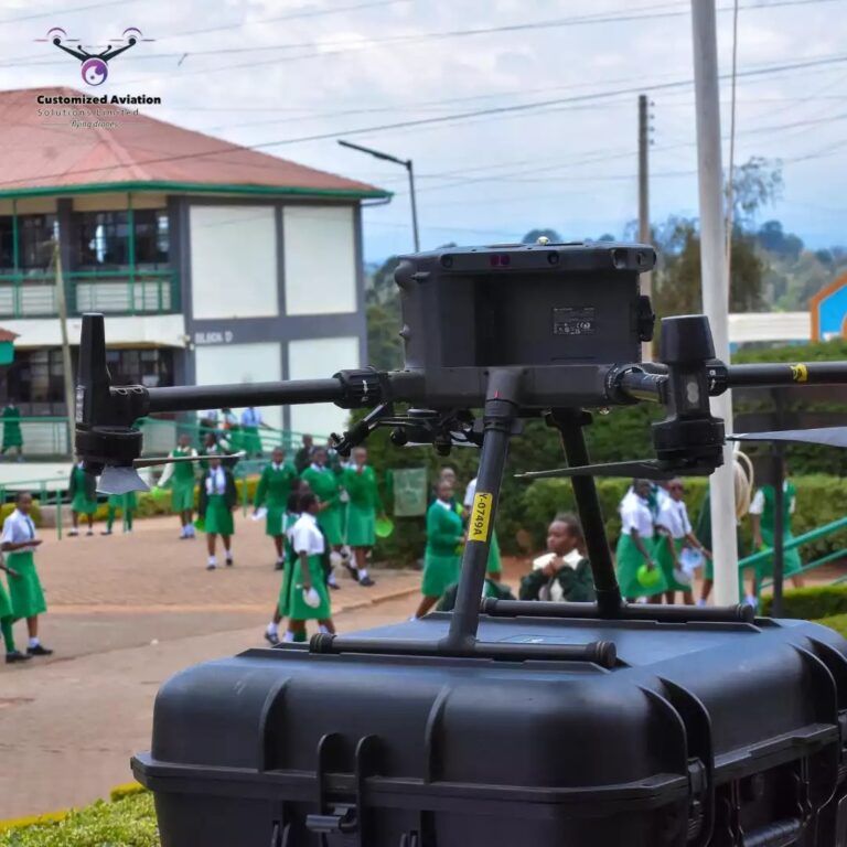
Customized Aviation was founded with a clear vision: to make drone technology accessible, practical, and transformative for the industries that need it most. As drones began changing how the world works—from agriculture to photography and surveying—we saw an opportunity to help individuals and businesses unlock the full potential of aerial technology.
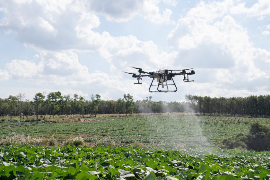
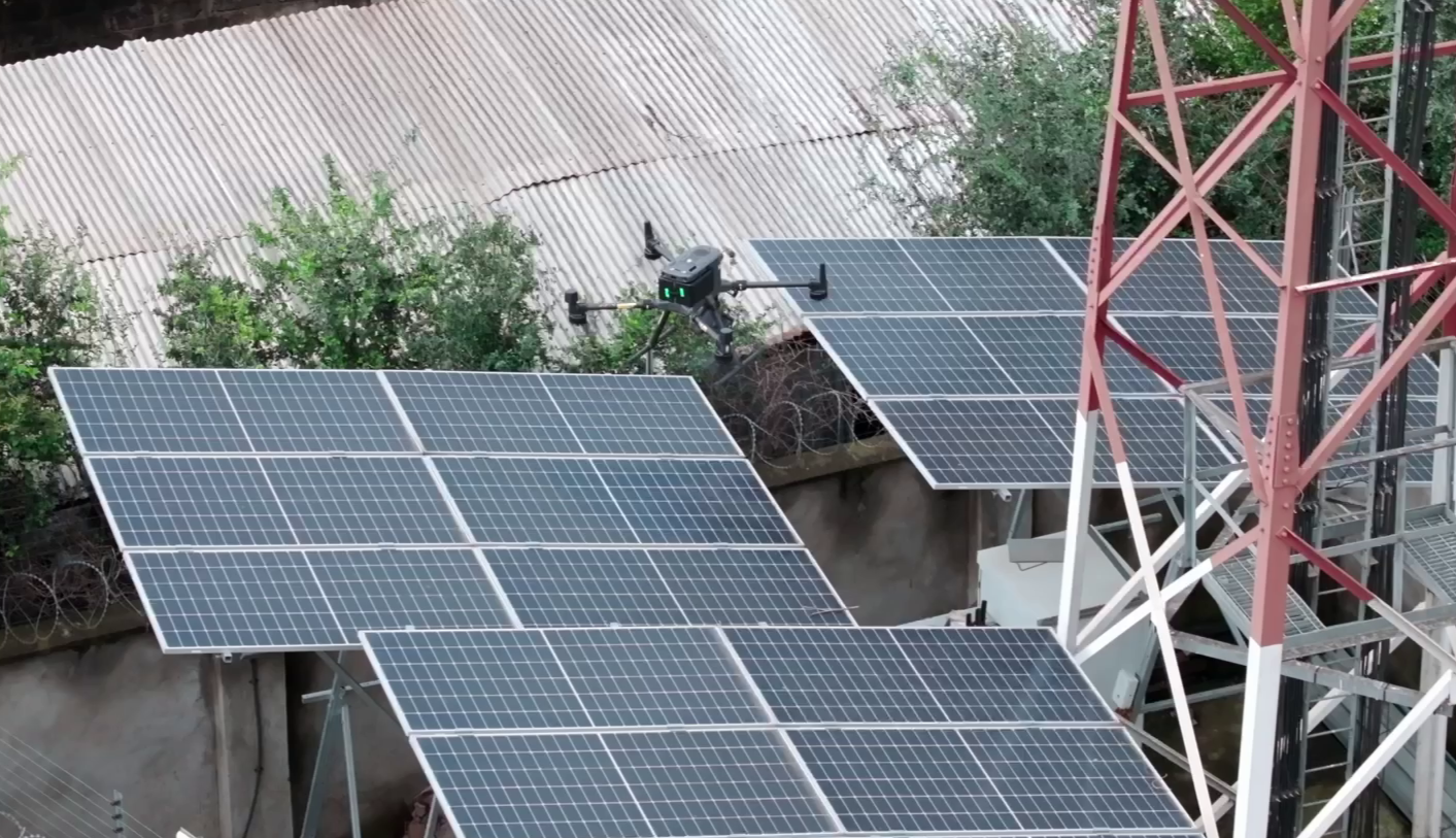
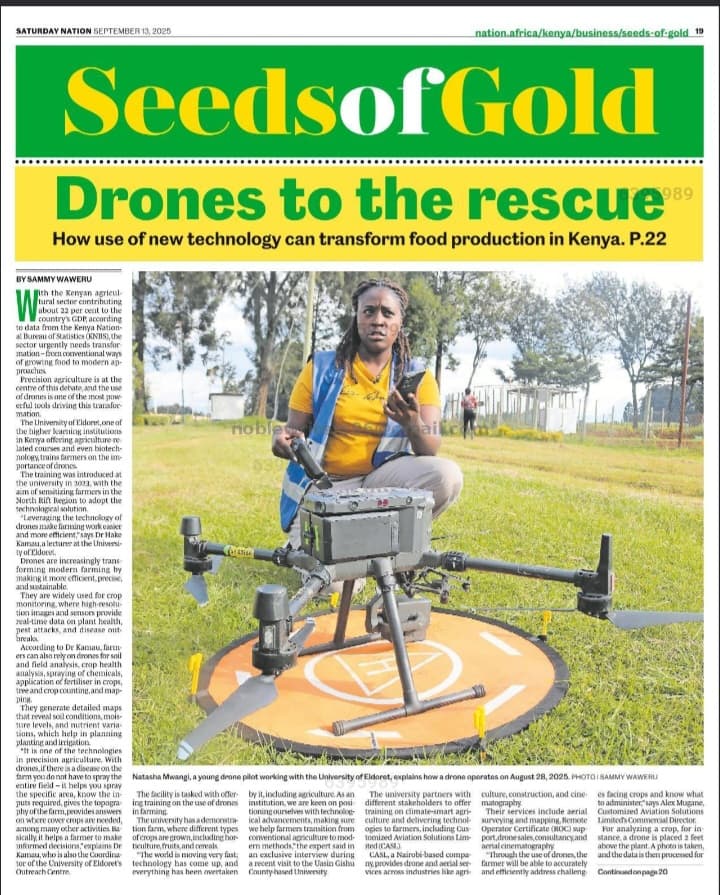
Farmers can now monitor crops more efficiently, identify problem areas early, and improve productivity using aerial data. Photographers and filmmakers are able to capture breathtaking perspectives that were once impossible without expensive equipment. Surveyors and engineers can map land, inspect infrastructure, and collect critical data faster, safer, and more accurately.
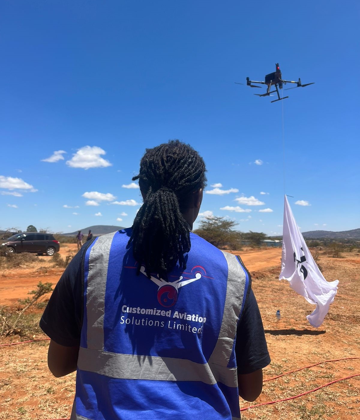
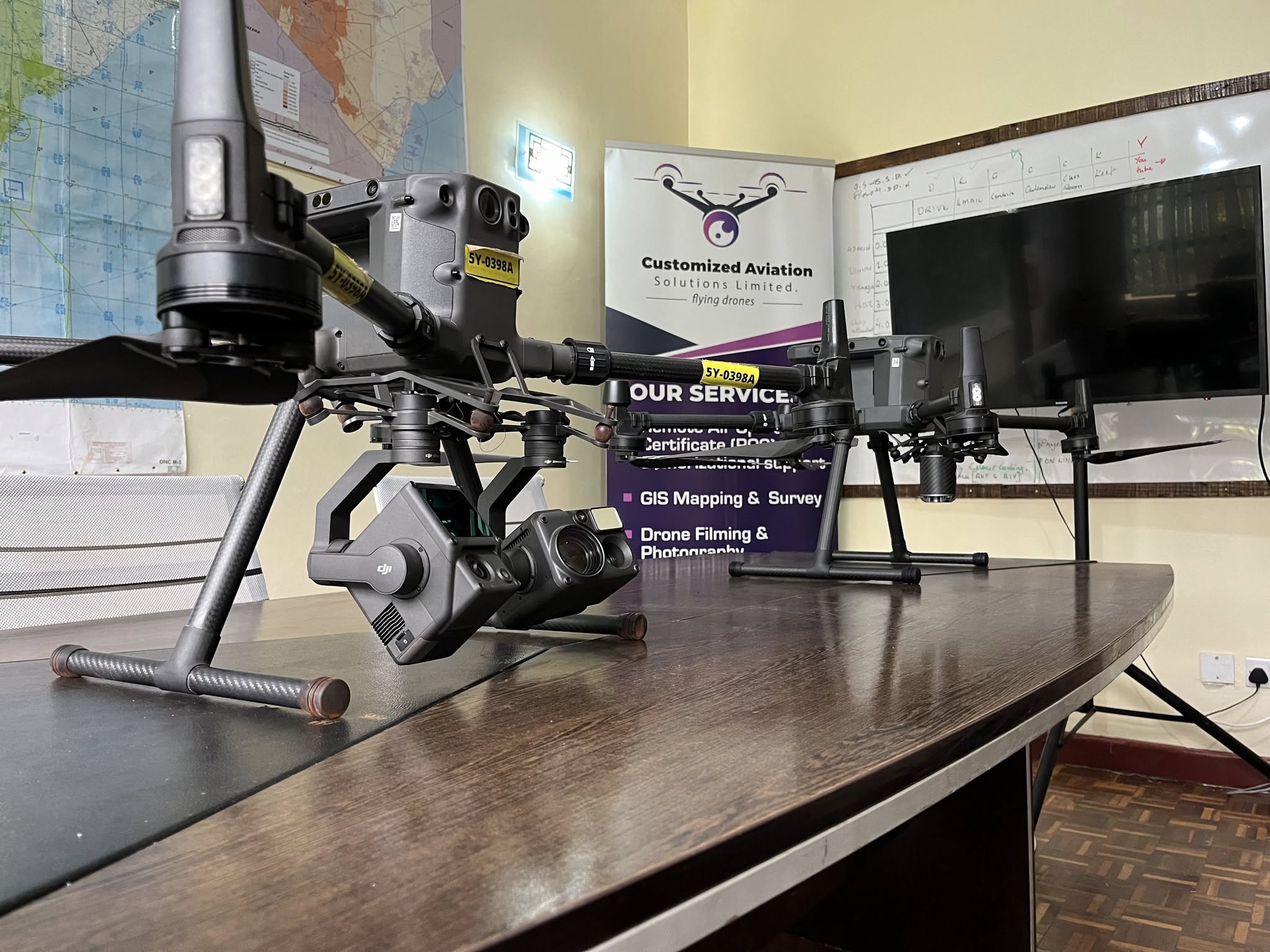
Customized Aviation was created to support all these professionals by providing reliable drone services, technology solutions, and expert guidance. Our goal is to simplify complex tasks and make work easier, smarter, and more efficient through the power of aerial innovation.
Beyond providing services, we are deeply committed to empowering the next generation. We believe drone technology opens new doors for young people. Through training support and mentorship, we aim to equip youth with the knowledge and skills needed to become professional drone pilots and aviation innovators.
By combining technology, training, and service, Customized Aviation is not just operating drones—we are helping shape a future where aerial solutions drive progress, create opportunities, and support communities.